
Fontana Neighbors by Block
An address in Fontana can open a chain of parcel and public-record clues, but no one source lists every person on a block. The parcel map shows geometry and APNs. The San Bernardino County Assessor-Recorder-Clerk, or ARC, adds parcel facts. Permits and business licenses add activity. Voter tools verify a supplied voter or process a qualified request. Community pages may offer a public contact. The useful distinction is whether a source describes land, a record party, a licensed activity, or a resident.
| Source | What It Shows About a Block | Access |
|---|---|---|
| Fontana GIS and parcel layers | Adjoining polygons, APNs, jurisdiction, districts, and map context | Free visual browse or REST query |
| ARC Assessor Parcel Access | Parcel situs, map position, tax facts, and available owner clues | Free parcel-by-parcel access |
| Permits and code files | Nearby project address, applicant, contractor, dates, or status where disclosable | City portal or focused request; county for unincorporated areas |
| Voter status or qualified file | Supplied-voter status or approved-use voter data | Identity inputs or qualified request |
| Community contacts | Public officers or contact channels when an organization publishes them | Public page or direct contact; rosters usually private |
Owners are not the same as occupants. A parcel record can associate a person, trust, or entity with land and still say nothing about who sleeps there. A permit can identify an applicant or contractor without identifying a household. A voter match is about a supplied person, not an open neighbor directory. Keeping those limits visible makes a Fontana block lookup more accurate and less intrusive.
Fontana Neighbors on the Parcel Map
The Fontana public GIS service and county parcel tools are the best starting points for adjacency. Locate the target address, zoom until parcel outlines appear, and note the APN and boundary or district layers. The Fontana MapServer advertises query capability with a maximum of 1,000 records. Layer fields vary, so a query result from one layer should not be treated as a promise that every layer carries owner, address, or ZIP fields.
The Fontana public GIS MapServer is useful for seeing how a parcel sits within the city’s mapped context. It is not a resident roll and does not replace the assessor record.
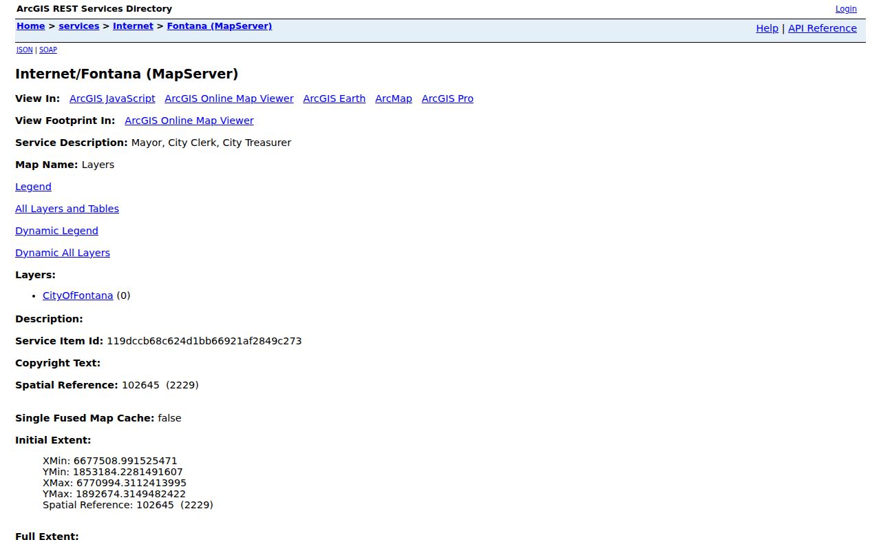
The map image points to the layer-first method: understand the polygon and jurisdiction before attaching a person or record to it. Ordinary map browsing can be enough for nearby parcels; a REST query is only as useful as the layer fields and service cap allow.
Fontana Neighbors: Adjacent Parcels
A block-level search should move outward from one verified address rather than promise a radius or buffer. No radius or buffer tool was verified in the research. The reliable method is visual and parcel by parcel:
- Locate the target address in Fontana GIS or San Bernardino County Assessor Parcel Access.
- Zoom until the parcel outlines are clear, then click the target polygon.
- Capture the APN, situs, legal or subdivision clues, and any displayed assessor details.
- Click each adjoining polygon and open its assessor details separately; do not assume one query represents every neighbor.
- Compare the parcel and city boundary before sending a permit, code, or license request to Fontana or the county.
For a larger named street, the Fontana street directory workflow follows the whole address chain. Neighbors work is narrower: it identifies the polygons that touch the starting parcel, then checks each record on its own terms.
Note: The APN is a stable county identifier for the parcel trail, while the map’s visible owner clue may be protected, incomplete, or tied to an entity.
Fontana Neighbors and Voter Status
California’s public voter tools are built to verify a supplied voter, not to publish a browseable Fontana street roll. The California voter-status lookup uses identity inputs and returns status, polling or ballot information for the match. That makes it useful when a name and other facts are already known, but it does not reveal every person connected to the adjoining parcels.
| Field label | Type | Role in the check |
|---|---|---|
| First Name | Text, required | Starts the supplied-voter match |
| Last Name | Text, required | Pairs with the identity details |
| Date of Birth | Date, required | Helps distinguish a known person |
| California Driver License or ID, or last four SSN | Identity field, tool-dependent | Blocks open street browsing |
| Search or Submit | Button | Returns matched voter services |
Elections Code sections 2188 and 2194 permit qualified requests for approved electoral, governmental, scholarly, journalistic, or political purposes. The request route can cover a statewide file or a limited set of known voters, but it is not a free block directory. Driver-license numbers, Social Security numbers, signatures, and protected voters remain outside ordinary public use.
California’s Safe at Home program can provide a substitute mailing address, mail forwarding, confidential voter registration, and related protections for eligible participants. An absent voter address can therefore reflect lawful confidentiality rather than a failed search.
Fontana Occupancy and Owner Records
ARC describes a parcel for assessment and tax administration. Its fields can include an APN, situs or map position, land and improvement characteristics, assessed-value components, and some exemption context. The office warns that its data is not a legal-ownership determination, and the research does not support treating a property record as proof of occupancy.
Situs means the physical location used on the roll. Mailing means where assessment correspondence goes. A mailing address may be a different property, a post office box, or a protected field. The deed’s legal description supplies another link, but it also does not tell who lives at the address. A non-owner occupant, household member, minor, utility customer, or delivery recipient may never appear in a public parcel record.
Bulk public owner-address fields are protected under Government Code section 7928.205, and ARC does not advertise special queries. Open each parcel separately, record the source and date, and avoid turning a set of owner clues into a claim about every Fontana neighbor.
Fontana Neighbor Records and Permits
Permits and code files can add useful block context when a parcel has a visible project history. Fontana Building and Safety and Development Services can hold a project address, applicant or contractor, inspection history, dates, and status where the record is public. Code Compliance uses an address-keyed channel for complaint or case material, subject to enforcement and privacy exemptions. A focused request should name the address, record series, and date range.
The city’s business-license search accepts a search-by choice for address, name, or type, plus an optional license-start date range. The city describes the information as self-reported. A license address is a business or mailing clue, not proof that an owner, license holder, or customer lives there.
Open the Fontana business-license search when a nearby commercial address is part of the question, then compare its result with the parcel map and the right city or county custodian.
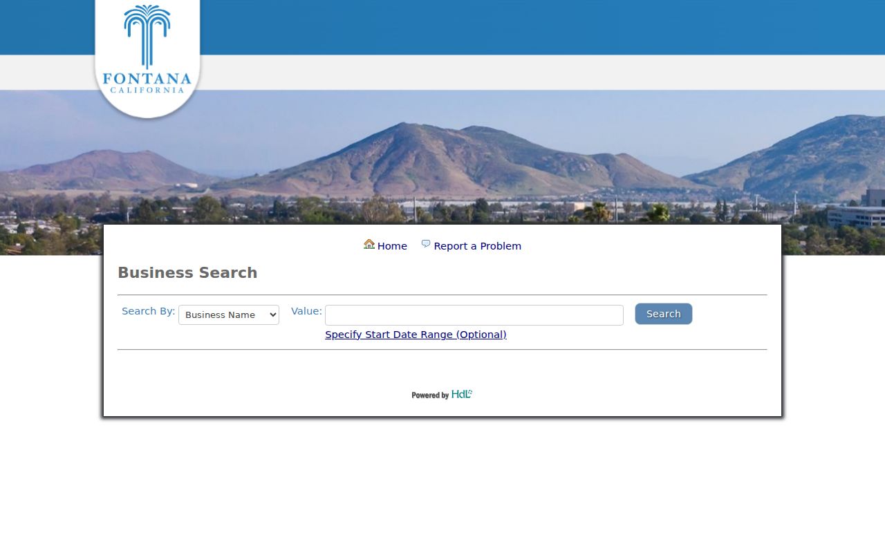
The business-license image illustrates context research, not a household list. Contractors should call Fontana Planning at (909) 350-6718 to distinguish a city site from an unincorporated postal Fontana address. Business-license questions use (909) 350-7675.
Fontana Neighbors and Community Areas
Fontana’s named areas help describe where a block sits, but the research does not verify an official association directory or public member roster. Southridge, North Fontana and Heritage, Sierra Lakes, Walnut Village, West End, and central or downtown areas are useful geographic labels. They are not proof of association membership, household identity, or a shared civic group.
Planning and map labels
Use Southridge, North Fontana, Heritage, Sierra Lakes, Walnut Village, West End, or central and downtown context to describe a parcel’s area.
Labels do not create a roster.
Public contact pages
Public boards, school or PTA pages, block-watch pages, and faith or community organizations may publish officers or contact paths.
Do not infer members from a public officer.
Fontana Heritage Center
7350 W. Liberty Parkway, (909) 349-6968.
It is a community contact. Its official page does not prove archival holdings or an association roster.
When a community group is named in a public source, use its published contact channel and ask what it can disclose. No verified umbrella directory or association-member list was located for Fontana, so a block search should stop at public officers and contact information.
Fontana Neighbors in City Numbers
Fontana’s city-wide figures give a sense of scale without answering a block question. Census QuickFacts estimates 221,223 residents in 2025, compared with 208,393 in 2020. The city covers 43.07 square miles and has 58,362 households averaging 3.66 people. Those numbers describe the whole city. They cannot be divided into a reliable count of Fontana neighbors on one street or around one parcel.
The practical lesson is simple: a large and fast-growing city increases the chance that a ZIP, neighborhood label, owner record, and occupant clue refer to different layers. Use the numbers as context, then return to the APN, situs, source date, and custodian for the actual block question.
Privacy Rules for Fontana Neighbors
Official records and commercial neighbor tools are not interchangeable. Official sources are narrower, tied to a custodian, and easier to verify against an address or document. Commercial tools compile public and commercial data, may be stale, and may merge same-name people. Neither category should be used to evade a privacy control or turn an owner clue into a claim about an occupant.
| Category | Useful strength | Limit |
|---|---|---|
| GIS and parcel records | Show adjacent geometry, APNs, and mapped jurisdiction | Do not list household members |
| Assessor, permit, or license records | Connect land or public activity to an address | Owner, applicant, or business is not the same as occupant |
| Voter status and qualified files | Verify a supplied person under an allowed route | No open street browse; protected fields remain closed |
| Commercial neighbor tools | May combine many public or commercial clues | Accuracy varies and the result is not official evidence |
Safe at Home can shield an eligible participant’s actual address, but it does not erase old public information. Protected voters, confidential addresses, minors, non-owner occupants, utility records, and delivery data stay outside an ordinary Fontana neighbor lookup. If a source is wrong, correction belongs with the custodian that created it.
Lawful use. Neighbor records can support personal research, reconnecting, civic curiosity, and safety awareness. Do not use a Fontana neighbor lookup to watch, harass, intimidate, or harm anyone; California anti-stalking and civil-harassment rules still apply.